Atlases

The atlas family now lives inside Interactive Exhibits

Disease maps, historical exhibits, and visual tools for following pathogens through geography, infrastructure, ecology, and time.

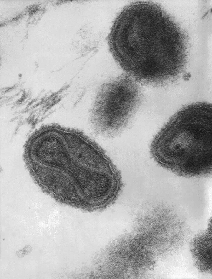
Black-and-white transmission electron micrograph of smallpox virions, including a particle with its internal viral core visible.
Smallpox virions under an electron microscope, 1975. Image source ↗
AtlasPATHOGEN / ROUTES

Atlas family

Pathogen Atlas

An origin-and-spread atlas that links geography, uncertainty, papers, and prior writing instead of flattening pathogens into another story stream.
Origin claims, route confidence, and linked papers

Open now
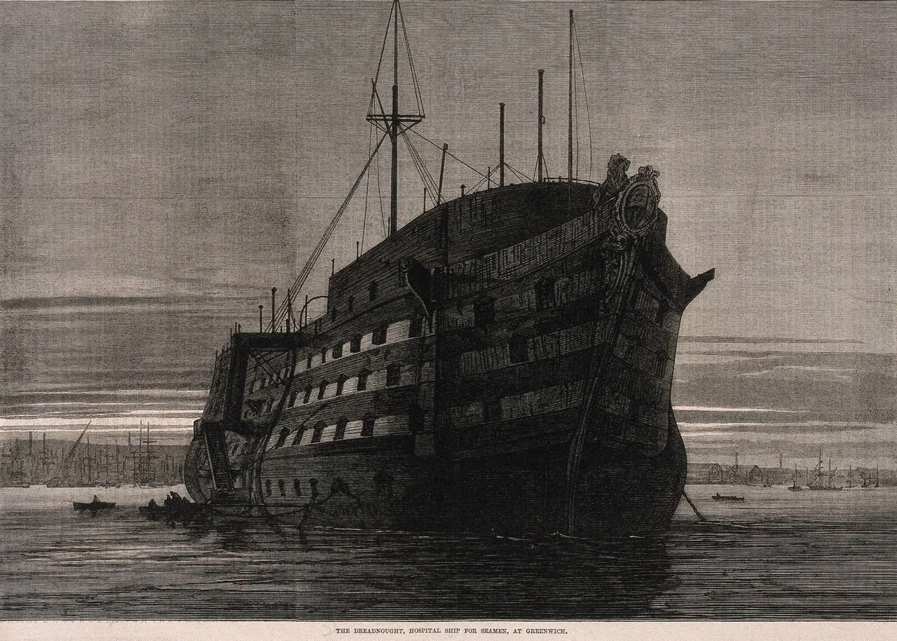
An 1870 engraving of the large Dreadnought hospital ship moored off Greenwich, with small rowing boats alongside.
A floating hospital. Dreadnought at Greenwich, 1870. Image source ↗
AtlasMARITIME / PORTS

Atlas family

Maritime Disease Atlas

A darker, map-forward atlas of shipboard disease ecology, ports, vectors, and the movement constraints of life at sea.
Map scenarios with route, mechanism, and historical narrative

Open now
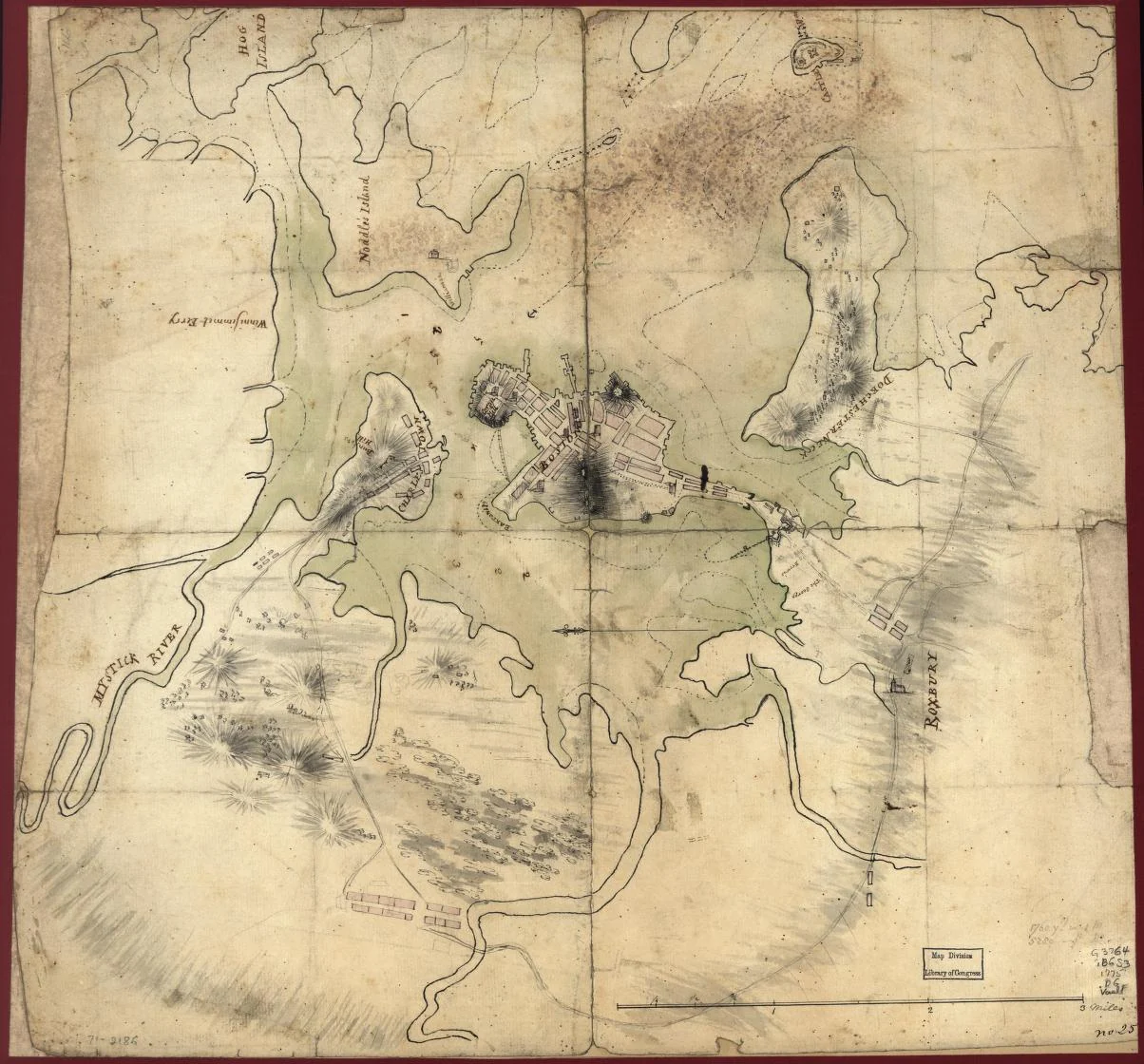
A hand-drawn map of Boston and surrounding waterways, with buildings and entrenchments marked on aged paper.
Boston and its entrenchments. Manuscript map, c. 1775. Image source ↗
AtlasREVOLUTIONARY WAR / COLONIES

Atlas family

Revolutionary War Disease Atlas

A historical epidemiology section focused on colonial and Revolutionary-era disease ecology, troop movement, and the public-health constraints around the founding period.
Essay-linked historical synthesis

Historical section
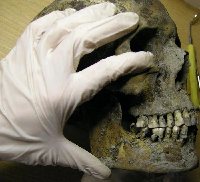
Gloved hands hold a skull during examination of the jaw and teeth in the Varnhem dental research project.
Examining the evidence. Teeth and jaw from Varnhem. Carolina Bertilsson · CC BY 4.0 ↗
AtlasVIKING / NORSE

Atlas family

Viking Health Atlas

A Norse-world disease and health map that ties Greenland, Vinland, settlement ecology, and pre-Columbian contact arguments into one visual surface.

Map-based historical synthesis plus linked essays

Norse-world atlas